Classic Harbor Line’s popular architecture boat tours, offered in collaboration with the AIANY (American Institute of Architects, New York Chapter), typically set sail at Chelsea Piers, continue south to New York Harbor, with a close swing by the Statue of Liberty, then pass underneath the bridges on the East and Harlem Rivers on its way north, travel through the Spuyten Duyvil Bridge at the top of Manhattan, and then sail back down the Hudson River to the home port at Chelsea Piers. Learning about the infrastructure of the city while enjoying light snacks and a beverage aboard a well-appointed yacht is an appealing way to spend an afternoon.
 |
| The tour offers excellent views of the city's bridges and skyline. |
On the July 31 sail, the AIANY Bridge, Architecture & Infrastructure Tour, architectural historian John Kriskiewicz delivered the narration. He told stories of bridge builders and engineers, the history of the piers, the origins of the Port Authority, the importance of Robert “The Power Broker” Moses, the centrality of New York Harbor, and the history of container shipping. Even know-it-all New Yorkers will learn a thing or two from such a trip, including just how the Verrazano-Narrows Bridge ushered in a new era for Staten Island, how Holland Tunnel got its name, and why cantilevered balconies appeal to the middle class.
 |
| Lower Manhattan from inside Classic Harbor Line's Manhattan II yacht |
The meta-narrative is convincing. “Infrastructure shapes the skyline,“ Kriskiewicz explained. While directing our attention to the organizing structures that undergird the city - bridges, power plants, sanitation facilities, rivers, harbor, highways, etc., he also asked us to observe the water line. While rounding the Battery, he pointed to the Lower Manhattan skyline and the trillion dollar plus real estate investment sitting only six feet above high tide. This of us who lived through
Hurricane Sandy recalled the precarious situation in a real way.
 |
| View of the Brooklyn Bridge and Manhattan Bridge |
The infrastructure relating to maritime commerce has required constant adjustments over time. When shipbuilders built larger boats, most piers surrounding Manhattan could not accommodate them, forcing ocean liners such as Cunard Line’s Queen Mary II to the Brooklyn Cruise Terminal in Red Hook. Much of the cargo traffic has shifted to New Jersey, we learned, to places like Port Bayonne, Newark, and Elizabeth. The 1931 Bayonne Bridge had to be lifted last year to accommodate larger vessels.
 |
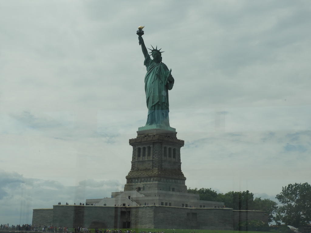
| Passing by the Statue of Liberty |
Passing by Ellis Island, we learned many immigrants continued their journey westward via the New Jersey Central Terminal, the great 1880 brick Richardsonian Romanesque building now part of Liberty State Park. On the nearby Morris Canal, boats carried coal, iron, and other goods from Pennsylvania to New Jersey and onto New York.
 |
| NYC sanitation facility on the East River |
What of the infrastructure below ground? Of course, New Yorkers are well aware of the issues surrounding subways tunnels and tracks. Residents and businesses in Williamsburg are bracing for the upcoming shutdown of the L Train, a project expected to last for 15 months. We also learned of the decades-long project, Water Tunnel #3, that will expand the city’s water supply for a growing population.
 |
| A menu, and a map for reference |
The tour encompasses the large story of New York City’s place in the region, so the big figure of Robert Moses looms large. While a walking tour of New York would contemplate Jane Jacobs’s wisdom of the streets, this trip invites seeing the city as a part of a larger picture. You don’t have to like Moses’s grab for power or his willingness to carve through whole neighborhoods for superblocks and highways. You do have to think like a planner and figure out how to move 400,000 people, the number of people affected by the L train shutdown, back and forth across the East River.
 |
| View of Roosevelt Island's ferry terminal from comfortable seats |
As noted on the company website, “Guarantee of a full circumnavigation of Manhattan is not included. On rare occasions, the Spuyten Duyvil train bridge is inoperable and cannot open for us to pass through.”
 |
| Major upgrades at the Spuyten Duyvil Bridge |
On this particular tour, this is exactly what happened. The boat could not get through. A major renovation of the Spuyten Duyvil Bridge, a train bridge that spans Spuyten Duyvil Creek between Manhattan and the Bronx, is underway. The bridge usually carries Amtrak trains on the Empire Corridor line from Penn Station to points north all the way up to Canada. After Hurricane Sandy, the bridge suffered some water and electrical damage and needed an upgrade. An enormous floating crane has been brought into service to put the bridge back in place, and the Amtrak trains have been rerouted to Grand Central Terminal until work is completed this summer. Our boat had to turn around and go back down.
 |
| View of the many bridges spanning the eastern rivers |
The passengers seemed to take the news in stride. It was a beautiful day, after all, and we were having a good time. The change of plans offered another opportunity to enjoy the bridges of the Harlem and East Rivers. The lesson of the journey was reinforced once again. Another piece of the city’s critical infrastructure needed to be put back in place.
_____________________
Classic Harbor Line’s AIANY Around Manhattan Architecture tour covers much of the same ground but features more commentary on architects and design.
For more information;
Classic Harbor Line
https://www.sail-nyc.com/
Disclosure: I received a pass for this sail but I was not financially compensated in any way. The opinions expressed are my own and based on my observations.